HOUSATONIC MEADOWS STATE PARK
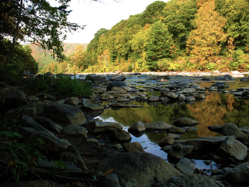
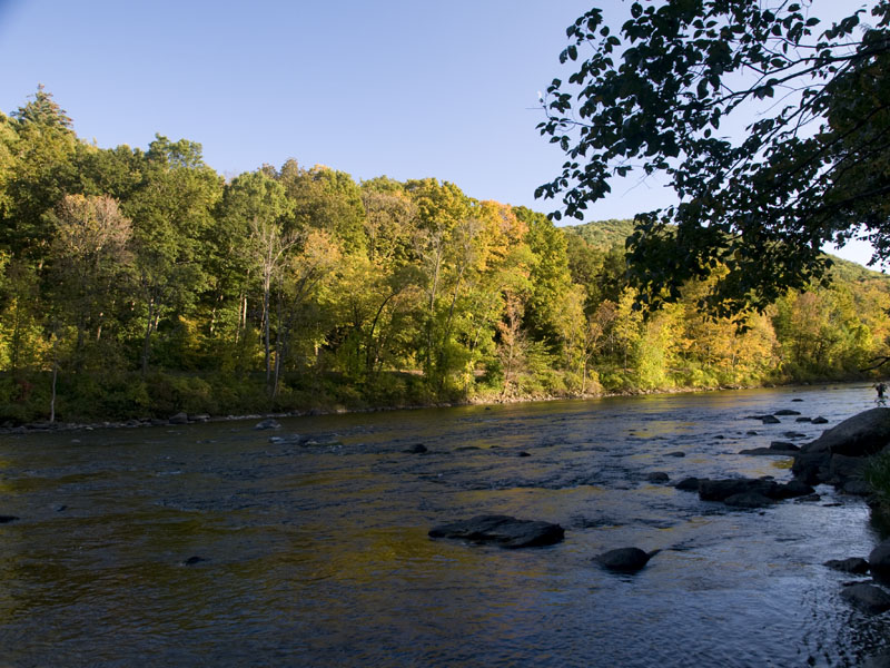
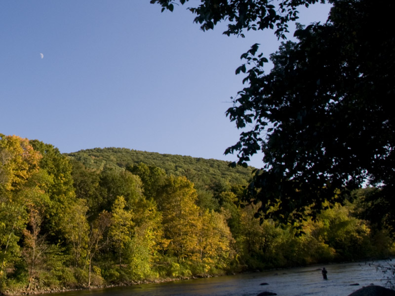
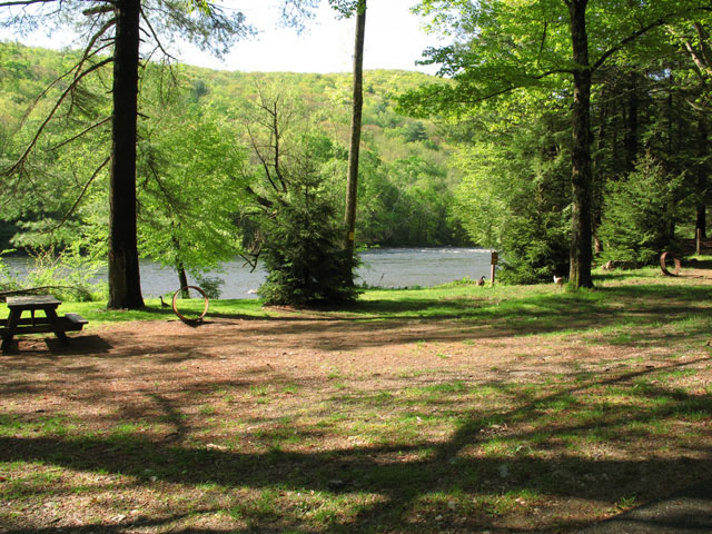
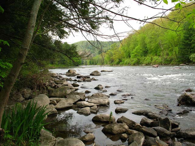
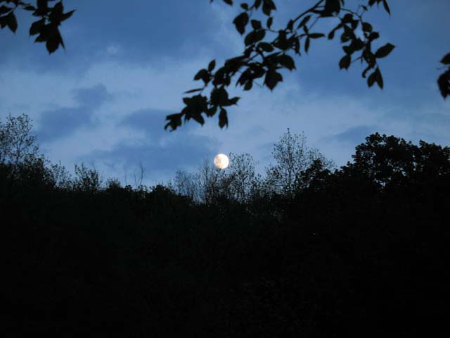
Camping under the tall pines on the riverbank at Housatonic Meadows evokes a genuine back-to-nature feeling. The clear, cold river water also provides a fine opportunity for fly fishermen to test their skills on trout and bass.
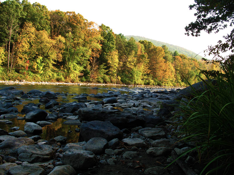
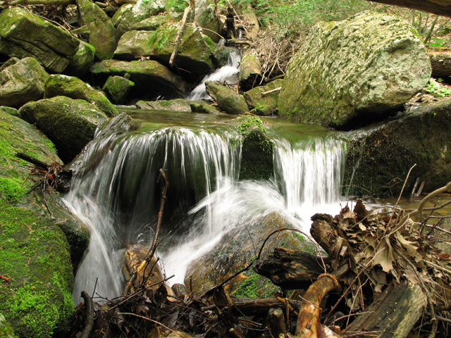
Located in the rock-strewn valley of the Housatonic River amid the rugged hills of the northwestern uplands, Housatonic Meadows is an ideal setting for a variety of outdoor recreational activities. Camping under the tall pines on the riverbank gives the overnight visitor a genuine back-to-nature feeling. The clear, cold river water also provides a fine opportunity for fly fishermen to test their skills on trout and bass. A two-mile stretch of river (including the park shore) is limited to fly fishing.
Connecticut has made state parks, forests, trails, historic sites and beaches more accessible to our residents so they can enjoy the many attractions and beauty they offer. Under the Passport to the Parks program, parking fees are now eliminated at Connecticut State Parks for those with Connecticut registered vehicles. You can view the
CONNECTICUT PASSPORT TO THE PARKS web page to learn more.
Day-UseFishingyes
Hiking Trailyes
Swimming Beachyes
BoatingLaunch Rampsyes
CampingPrimitiveyes
WinterActivitiesyes
Housatonic Meadow Campground offers 95 sites in a rustic setting near the Housatonic River. The camping season begins in mid-April and ends December 31.
Anglers can enjoy fly-fishing and bait casting along the Housatonic River, targeting trout (brown, rainbow), smallmouth bass, and pike.
Housatonic Meadows State Park is located near Torrington, Watertown and Winsted
Housatonic Meadows State Park offers scenic picnicking spots along the Housatonic River with tables and grills available. Enjoy riverside views amidst nature's tranquility.
- Pine Knob Loop Trail: A 2.6-mile moderately trafficked loop trail featuring beautiful wild flowers, primarily used for hiking and bird watching; offers a number of activity options.
- Appalachian National Scenic Trail - Connecticut Section: This is an extensive 52 mile-long section that passes through the park offering challenging terrains with stunning views over Housatonic River Valley.
- Mohawk Blue Blazed Trail: An approximately 24 miles long trail running from Cornwall to Sharon which intersects with other trails in the park providing opportunities for shorter hikes or longer backpacking trips.
- Breadloaf Mountain via Appalachian & Mohawk Trails : Approximately six miles round trip hike taking you up steep inclines to panoramic vistas overlooking Housatonic Meadows State Park and beyond.
-Pine Swamp Brook Campsite Accessible Via AT (Appalachian Trial): Roughly one mile north on the AT from Route US7 crossing near Cornwall Bridge Post Office, this site provides overnight camping facilities along your hiking journey.
-Cornwall Bridge Nature Museum Pathway: Less than half-a-mile easy walking path around nature museum showcasing local flora and fauna ideal for families with young children or those seeking less strenuous walks within natural surroundings.
-Hang Glider's Viewpoint off Appalacian trial route southbound towards Kent CT.: Short detour leading hikers to spectacular viewpoint popular among hang gliders due its high elevation above surrounding landscapes.
From the North ? Great Barrington or Pittsfield, MA areas: travel south on Route 7 into Sharon, CT. The park is located along Route 7 in the Town of Sharon approximately 3 miles south of the West Cornwall Covered Bridge and approximately 2 miles north of the intersection with Route 4.
From the South ? Greater Danbury area: travel north on Route 7 into Sharon, CT. The park is located along Route 7 approximately 2 miles north of the intersection with Route 4 and approximately 3 miles south of the West Cornwall Covered Bridge.
From the East ? Hartford area: travel west on I-84, take Exit 39. Continue west on Route 4. From Cornwall Bridge after crossing the Housatonic River, turn north on Route 7. The park is located in Sharon, CT along Route 7, approximately 2 miles north of the intersection with Route 4.


 Share Your Housatonic Meadows State Park Photos (click here)
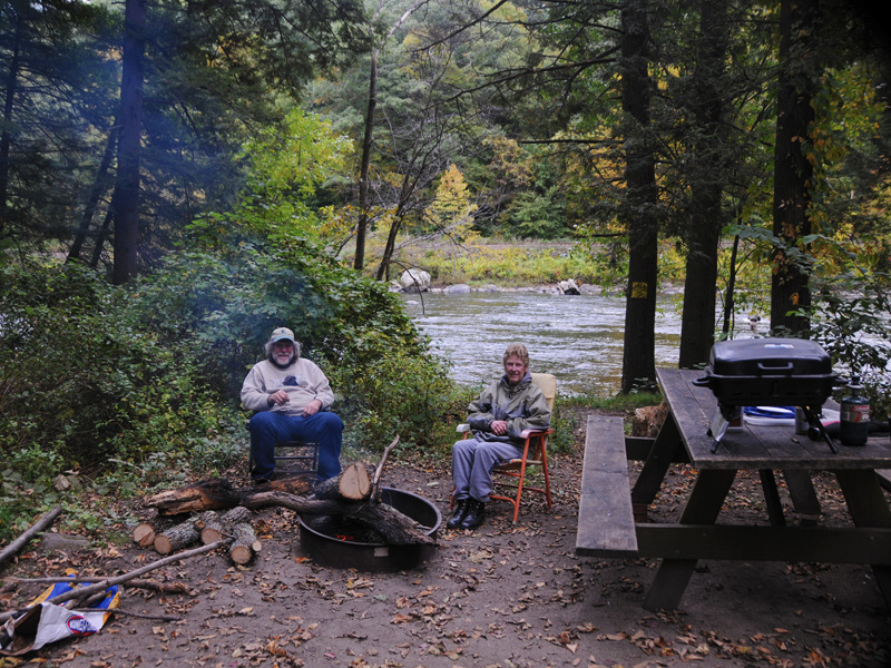