LOST MAPLES STATE NATURAL AREA
Lost Maples State Natural Area covers 2,174.2 acres in Bandera and Real counties. It is north of Vanderpool on the Sabinal River. About 200,000 people visit the park each year.
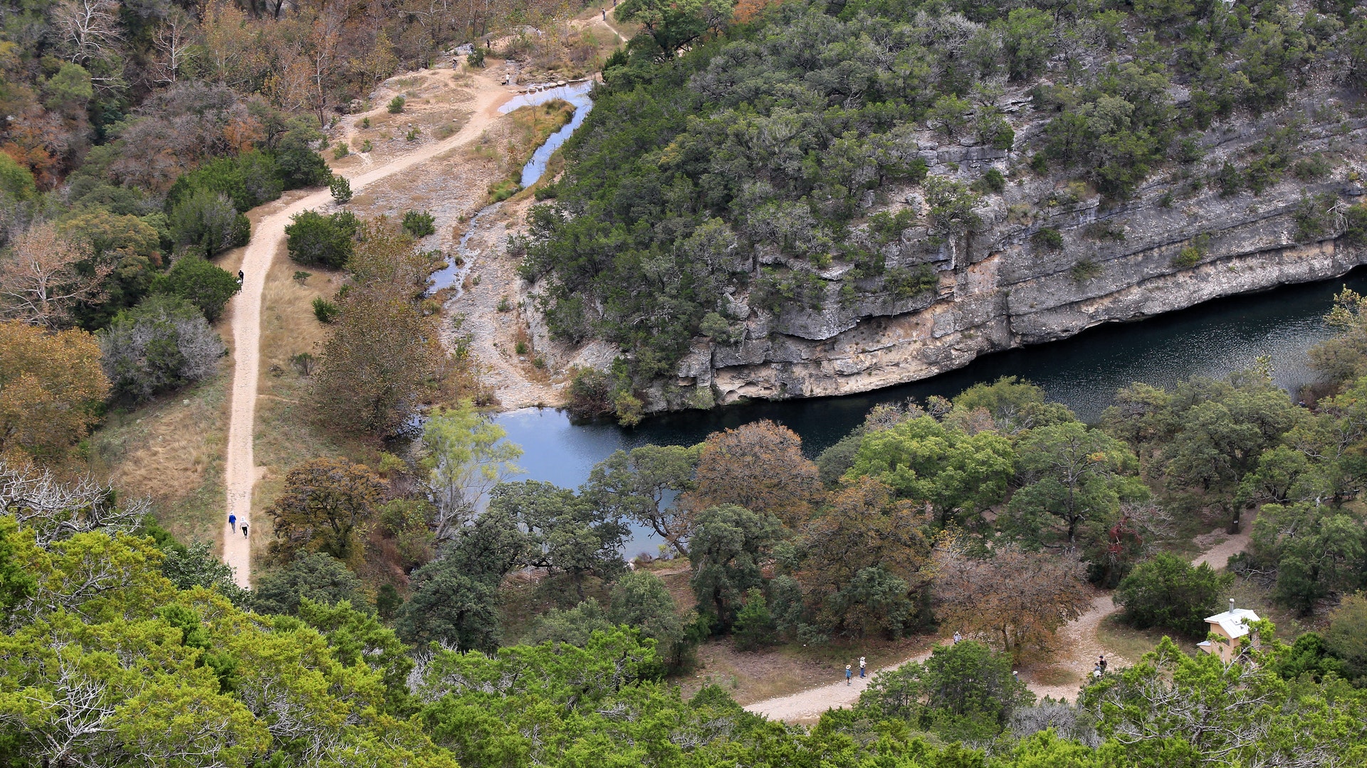
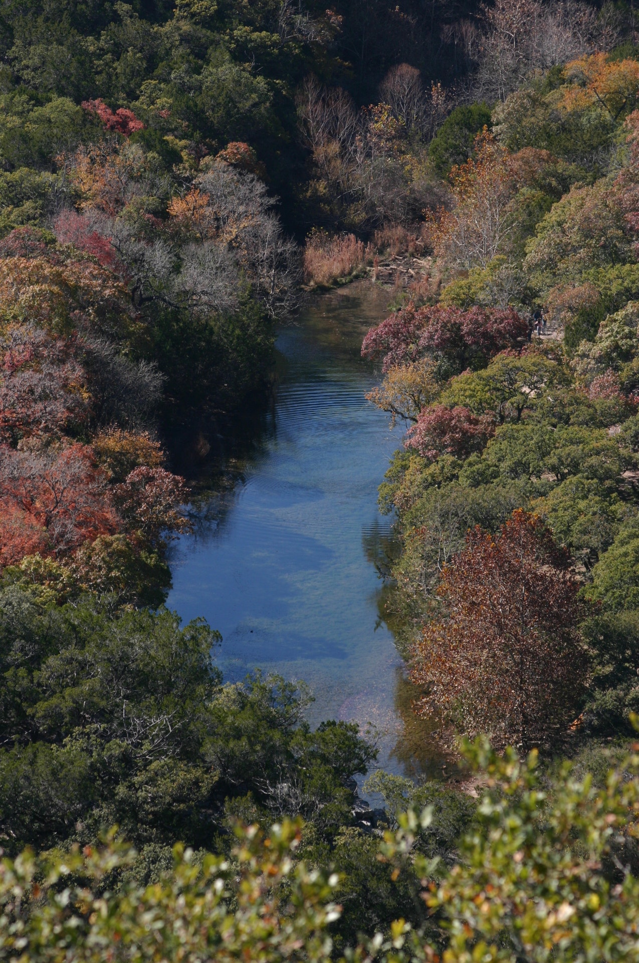
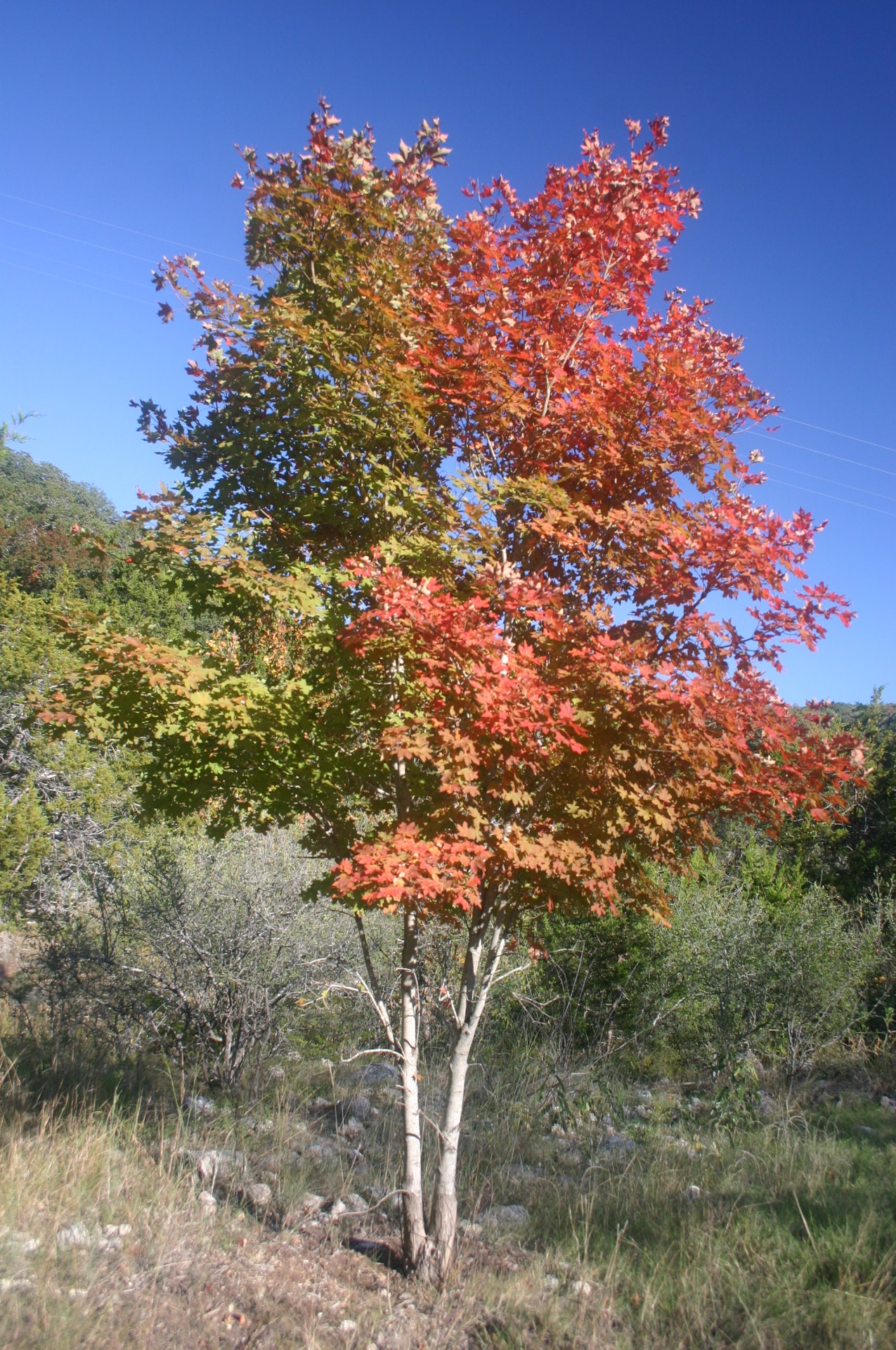
Lost Maples holds steep and rugged limestone canyons, springs, plateau grasslands, wooded slopes and clear streams. The fall foliage of our large, isolated stand of uncommon Uvalde bigtooth maples can be spectacular.
Look year-round for rare species of birds, such as the green kingfisher. Black-capped vireos and golden-cheeked warblers nest and feed in the park in spring and early summer.
Purchased from private owners in 1973 and 1974, the site opened on Sept. 1, 1979. The state purchased an additional 603 acres in 2009, bring the total acreage of the natural area to 2,900.
Evidence shows that prehistoric peoples used this area at various times.
The Spanish began exploring and colonizing around here in the late 17th century. Beginning in the mid-1800s, the land was used for ranching.
Apache, Lipan Apache and Comanche Indians ranged over the land. They posed a threat to settlement well into the 19th century.


 Share Your Lost Maples State Natural Area Photos (click here)
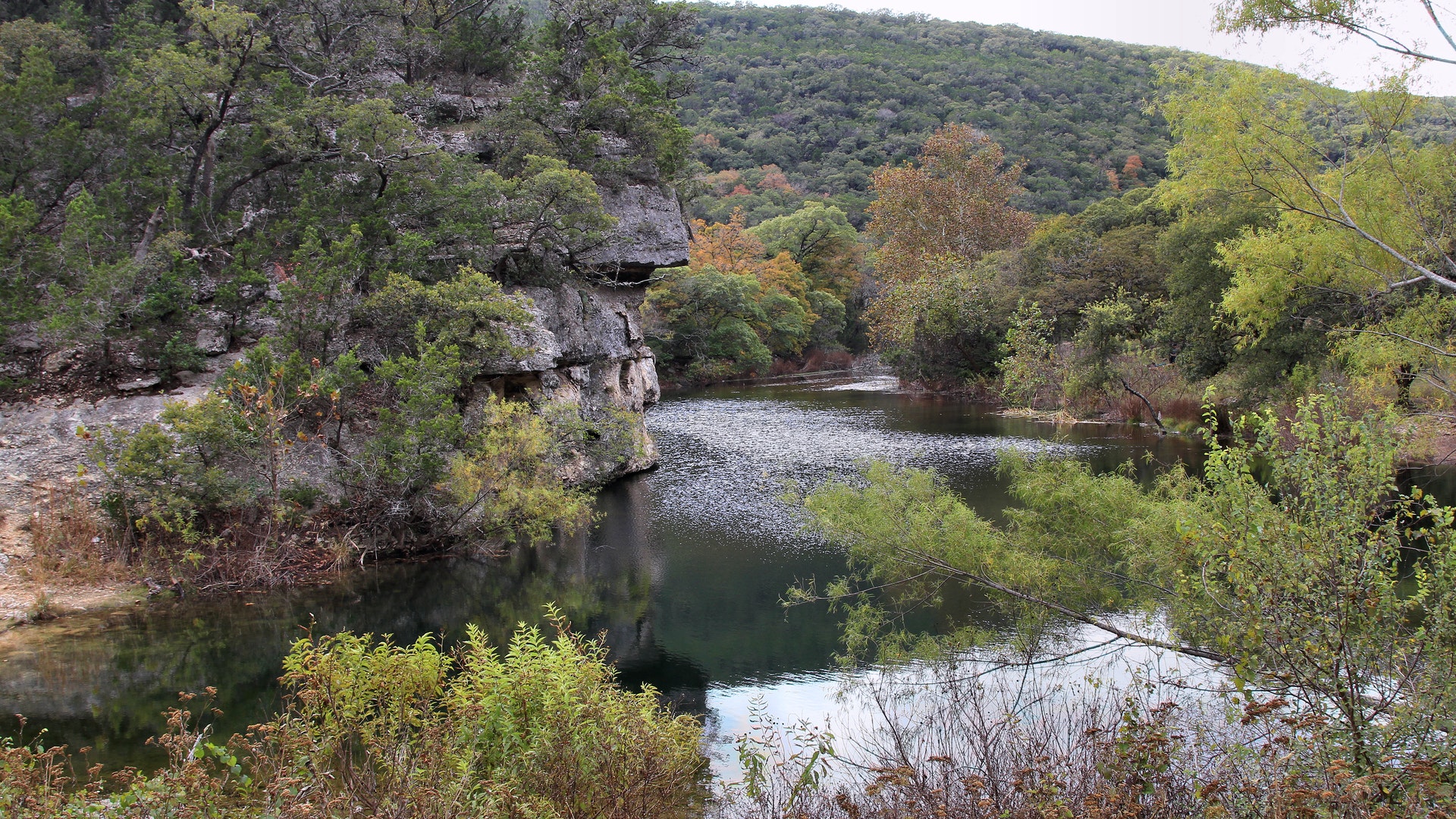