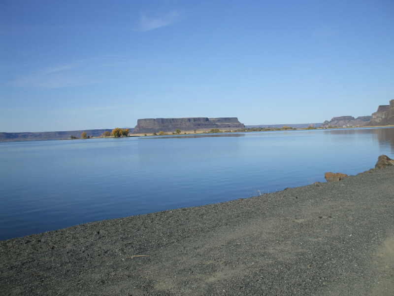
Lincoln Rock State Park is an 80-acre camping park on the east side of Lake Entiat, created by Rocky Reach Dam blocking the flow of the Columbia River north of Wenatchee. The park, a popular place for swimming, water-skiing and respite from the hot sun, was named for a basalt outcropping said to resemble ........
more >


 indicates parks that show reservation availability
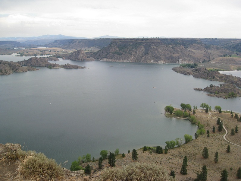