state route ranger badge
Montana
66

Montana State Parks

responsive menu icon
USA Parks
Montana
Custer Country Region
Find A Park
Campsite Availability
start slideshow
Glacier National Park Bowman Lake © Laura Tate Sutton
Bowman Lake fall colors.
Ninepipe National Wildlife Refuge © Mike Humphrey
Reflection of the south end of the Mission Mountains Copyright Mike Humphrey
Ninepipe National Wildlife Refuge © Mike Humphrey
Bird watching at Ninepipe refuge with the Mission mountains in the background Copyright Mike Humphrey
Smith River State Park © Ennetws / Public domain, via Wikimedia Commons
A scenic view of Smith Rock, central Oregon.
Glacier National Park © Dewese Milstead
Western Meadow Lark © stateparks.com
Western Meadow Lark
Campfire and Hotdogs © stateparks.com
Roasting hot dogs over an open fire.
Picnic Table © stateparks.com
It is always a great day for a picnic in the park.
Search
Availability
Calendars
Availability Search
Montana's Custer Country Region Parks

1
National Monument
5
State Parks
1
National Wildlife Refuge
1
National Forest
1
National Recreation Area
Parks in this region are near these Montana Cities (click city name to see parks within 25 miles)
Bighorn Canyon National Recreation Area
Bighorn Canyon National Recreation Area was established by an act of Congress on October 15, 1966, following the construction of the Yellowtail Dam by the Bureau of Reclamation. This dam, named after the famous Crow chairman Robert Yellowtail, harnessed the waters of the Bighorn River and turned this ........more >
Chief Plenty Coups State Park
Situated within the Crow Reservation in south central Montana, this park was the home of Plenty Coups, last chief of the Crow, Plenty Coups' log home and store remain as evidence of the chief's efforts to lead his people in adopting the lifestyle of the white man. The park is 4,033 feet in elevation ........more >
Custer National Forest
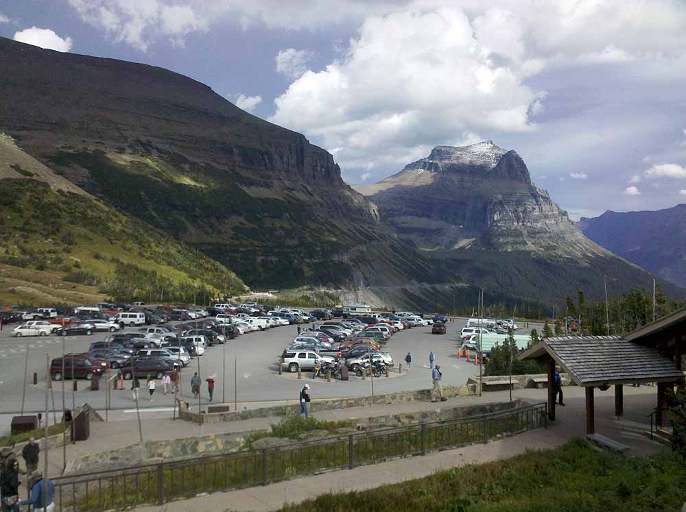
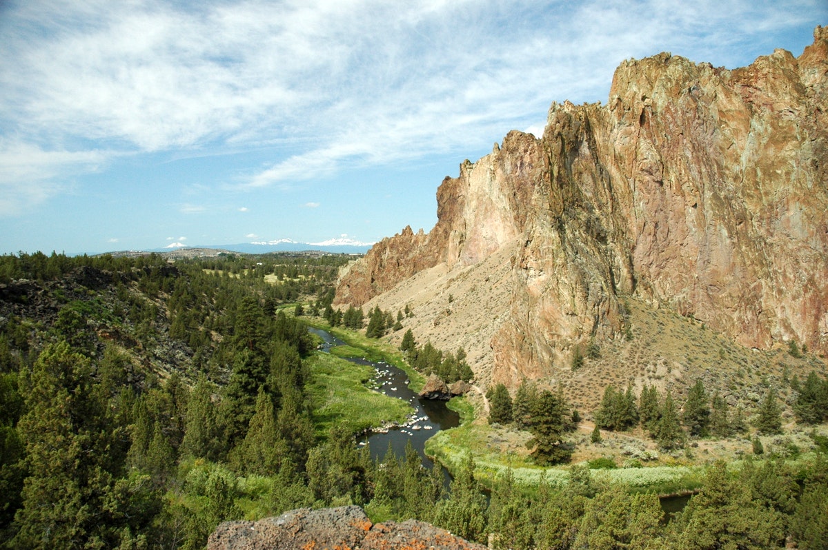
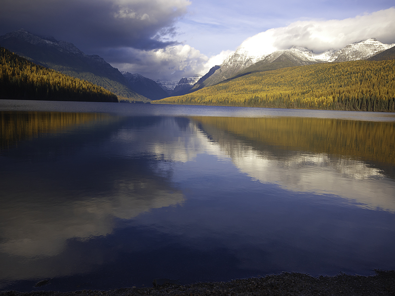
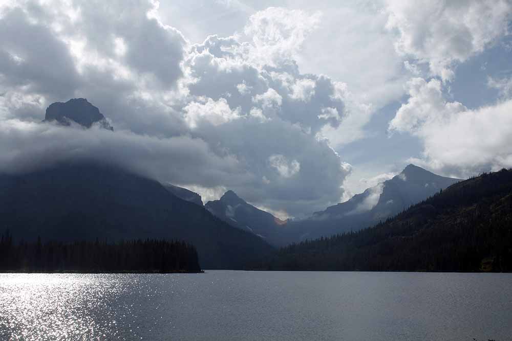
The lands of the Custer National Forest and National Grasslands lie scattered across 20 counties in Montana, North Dakota, and South Dakota. Elevations range from less than 1,000 feet in the Sheyenne Grasslands to 12,799 foot Granite Peak, the highest in Montana. The vast distances across which this ........more >
Lake Mason National Wildlife Refuge
Extending 125 miles up the Missouri River from the Fort Peck Dam in north-central Montana, the Charles M. Russell National Wildlife Refuge NWR is approximately 1,100,000 acres in size and includes the 245,000 acre Fort Peck Reservoir. Given the size and remoteness of the Refuge, the area has changed ........more >
Little Bighorn Battlefield National Monument
This area memorializes the US Army's 7th Cavalry and the Lakotas and Cheyennes in one of the Indian's last armed efforts to preserve their way of life. Here on June 25 and 26 of 1876, 263 soldiers, including Lt. Col. George A. Custer and attached personnel of the US Army, died fighting several thousand ........more >
Medicine Rocks State Park
As its name implies, Medicine Rocks was a place of big medicine' where Indian hunting parties conjured up magical spirits. As fantastically beautiful a place as I have ever seen,' said one of its first tourists in the late 1800's, a young rancher named Teddy Roosevelt. Weathering has given the soft ........more >
Pirogue Island State Park
Floaters find this isolated cottonwood-covered Yellowstone River island an excellent spot to view wildlife, envision the Corps of Discovery's travel along the river, and hunt for moss agates. The site is a haven for waterfowl, bald eagles, and whitetail and mule deer. Though there are no designated ........more >
Rosebud Battlefield State Park
Site of the June 17, 1876, battle between the Sioux and Cheyenne Indians and General George Crook's cavalry and infantry. One of the largest Indian battles ever waged in the United States, it set the stage for the Indian victory eight days later when Lt. Col. George A. Custer and his immediate command ........more >
Tongue River Reservoir State Park
The impounded Tongue River provides a 12-mile long reservoir set in the scenic red shale and juniper canyons and open prairies of southeastern Montana. Large bodies of water such as this are rare in this prairie country, and 50,000 visitors flock each year to enjoy the recreational opportunities. Boating ........more >
Visit Another Montana Region

state route ranger badge
Montana
66

Montana State Parks

X