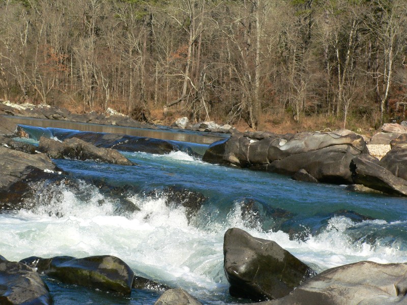
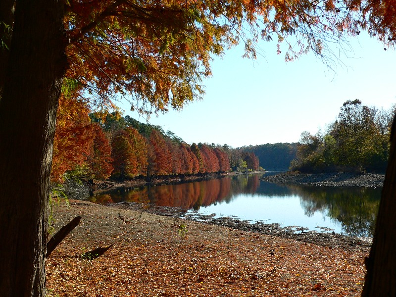
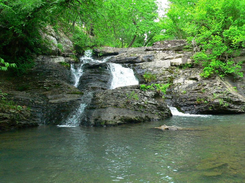
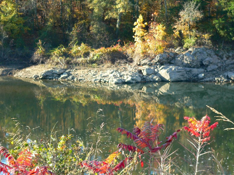
In this scenic setting in the foothills of the Ouachita Mountain, Lake Greeson, the Little Missouri River, and Daisy State Park make a winning combination for outdoor enthusiasts. Lake Greeson, 7,000 acres of clear water and mountain scenery, delights water enthusiasts. Catches of black and white bass, ........
more >


 indicates parks that show reservation availability
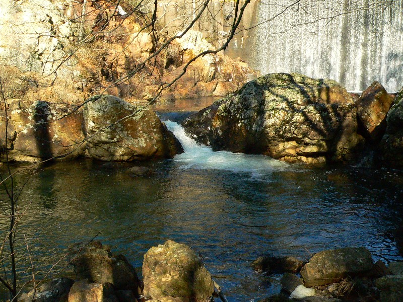